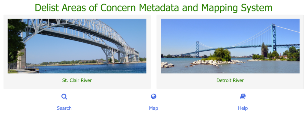
Scientific data and reports regarding our beneficial use impairments are available through the Delist Areas of Concern Metadata and Mapping System. The Delist Area of Concern (AOC) Metadata and Mapping System is an online geospatial and non-geospatial database designed to provide a one-stop-shop for beneficial use impairment-related data for the Detroit and St. Clair River Areas of Concern. Key features of the system include search capabilities, comprehensive metadata records , download options, and an interactive map component with various query and analytical tools. The Mapping System contains data from our various partners including the Essex Region Conservation Authority, provincial and federal governments, Indigenous communities, universities, and others who have contributed to the Areas of Concern program over the years.
Instructions for using the Mapping System can be found here.


